Gunbower National Park
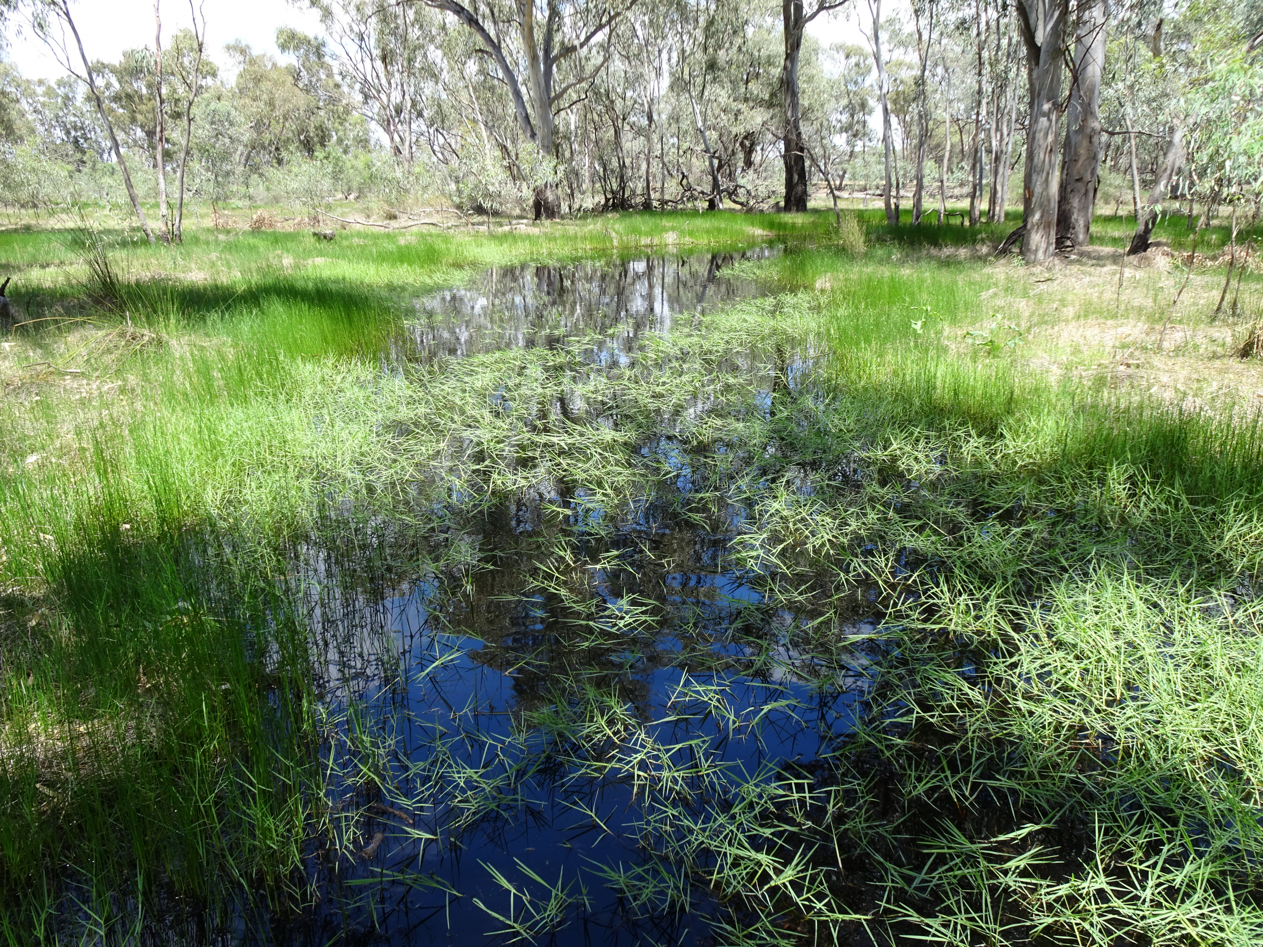
Gunbower National Park is one of Victoria’s most significant river red gum floodplain landscapes, supporting internationally important wetlands, forests and wildlife.
Latest news
The Environment Report and draft Planning Scheme Amendment were on public exhibition from 30 March to 12 May 2026, followed by a public hearing. The Standing Inquiry and Advisory Committee has considered all submissions, presentations and evidence to inform its report and recommendations to the Minister for Planning, who will assess the environmental effects of the projects. To find out more about this process, visit the Engage Victoria website.
About
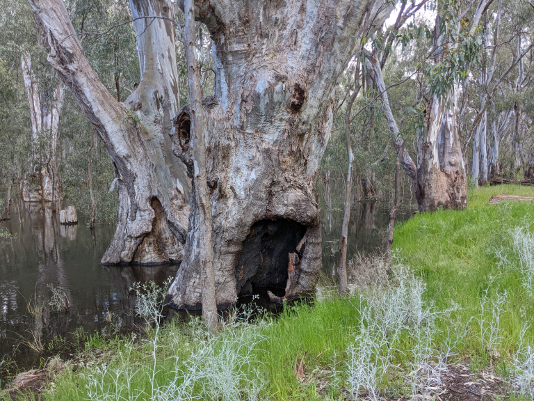
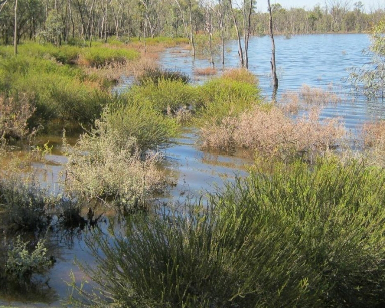
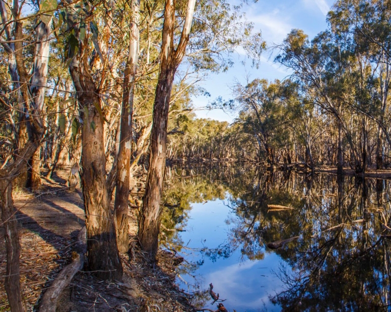
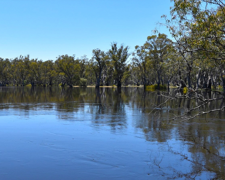
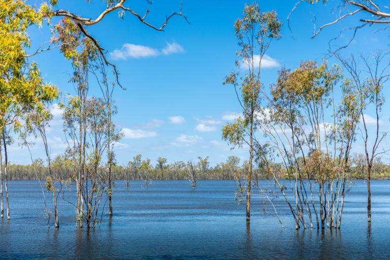
Gunbower National Park is one of Victoria’s most significant river redgum floodplain landscapes, supporting internationally important wetlands, forests and wildlife. It forms part of the internationally recognised Gunbower Forest, which is listed under the Ramsar Convention and in the Directory of Important Wetlands in Australia.
The Murray River and its floodplains evolved to flood regularly, supporting water dependant river redgum forests, wetlands and a wide range of native plants and animals. Over time, river regulation, such as dams, weirs, levees and irrigation infrastructure, has reduced the frequency, duration and extent of natural flooding across the floodplain.
At Gunbower National Park, some wetlands and forest areas now experience flows far less often than they need to stay healthy. In other areas, water has been delivered too frequently or at the wrong time of year, leading to stressed trees, changes in understorey vegetation and reduced habitat quality for wildlife.
VMFRP environmental works will help these floodplains to hydraulically and ecologically function more like they once did, restoring more natural flow patterns across the floodplain for future generations to enjoy.
Similar environmental works delivered under The Living Murray Gunbower project have shown that reconnecting rivers and floodplains improves ecological health, providing evidence that environmental works deliver lasting benefits.
Water for the environment will help improve the health, structure and regeneration of overhead canopy species, and increase the diversity and abundance of flood-dependent understorey species such as grasses and shrubs; and restore habitat for wildlife that depends on flows to survive such as waterbirds and frogs as wetland health and conditions improve. The forest’s Ramsar-listed wetlands provide important habitat and breeding grounds for more than 49 threatened species.
Gunbower Island is a place of deep cultural, spiritual and historical significance for First Nations people, including the Yorta Yorta Nation Aboriginal Corporation and the Barapa Barapa. Protecting cultural heritage and working closely with First Nations people is a key consideration in the project’s design and delivery.
The project will help ensure the Gunbower National Park floodplains remain healthy, resilient, and protected for future generations.
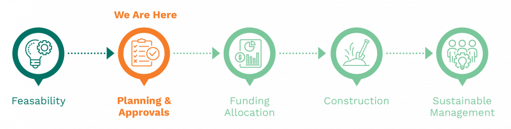
Project milestones:
Project features
The project proposes new and upgraded floodplain infrastructure that will work with high river flows and water for the environment to improve watering regimes across parts of Gunbower National Park.
Planned elements include:
- pump stations and pipelines to deliver water to the right place at the right time when river levels are too low to cause floodplain inundation
- gated structures (regulators) and containment works to manage water movement and retain water on the floodplain
- a fishway to maintain connectivity for native fish in Camerons Creek
- infrastructure has been designed to distribute water to wetlands and floodplain areas efficiently and effectively
- upgrades to 22.8 km of existing tracks and the creation of 2.1 km of new tracks where access is required for operations and monitoring.
Where possible, infrastructure will be located on previously disturbed areas, such as existing tracks and channels, to minimise impacts on undisturbed landscapes and cultural heritage.
Most containment banks will be constructed along existing tracks, with low profiles designed to blend into the landscape.
Location
The project site is in the upper part of Gunbower National Park of northern Victoria, near Torrumbarry Weir and the towns of Cohuna and Gunbower.
Project benefits
-
556 hectares
Of lakes and floodplain targeted for improved ecological health.
-
Improved tree health
Providing hollows that birds, bats and reptiles depend on for nesting and shelter
-
74 rare or threatened species
Are predicted to benefit from improved habitat conditions.
-
Local employment
Opportunities during construction and operation.
-
Cultural significance
Aboriginal cultural heritage is respected and protected.
-
Healthy landscapes
Supporting long-term sustainability and community wellbeing
Environmental planning and assessment
Under the Environment Effects Act 1978 (Vic), the Victorian Minister for Planning determined that an Environment Report is required for the Gunbower National Park Floodplain Restoration Project and the Guttrum and Benwell Forests Floodplain Restoration Project. The Environment Report describes the potential environmental effects of the projects and identifies measures to avoid, minimise and manage impacts. An Environment Report has been prepared in response to the scoping requirements issued by the Victorian Minister for Planning.
As part of the environmental planning and assessment pathway, a draft Planning Scheme Amendment (PSA) has also been prepared. The draft PSA proposes changes to the Campaspe and Gannawrra Planning Schemes to support the delivery of the projects.
The Environment Report and draft PSA were on public exhibition from 30 March to 12 May 2026, followed by a Public Hearing. The Standing Inquiry and Advisory Committee is now considering all submissions, presentations and evidence to inform its report and recommendations to the Minister for Planning.
The Minister for Planning will then make their assessment of the environmental effects of the project after considering the Committee’s report as well as the Environment Report, draft PSA, submissions, and any other relevant matters.
More information on the Environment Report and assessment pathway can be found on the Engage Victoria website.
To view the Environment Report and related documents, visit the VMFRP Environmental Assessment Portal.
Proposed construction
Building infrastructure in a national park requires careful management. If the Gunbower National Park project is approved, construction is expected to take around 12 to 18 months to complete. The construction footprint has been identified and includes all infrastructure and associated construction activities, including laydown areas, site compounds, and workforce facilities, upgrades to site access and borrow sites. The project is required to take an avoid and minimise approach to construction. This means that if approved, further design refinements, in consultation with stakeholders and the community, would be made, and as a result, the disturbance footprint is expected to be reduced even further.
Before the start of any construction, detailed designs would be finalised and additional approvals and construction permits would be required. The community would be updated during the pre-construction period and notified before the start of any works.
Construction would be guided by approved environmental and cultural heritage management plans, with controls in place to protect vegetation, wildlife, water quality and culturally significant areas.
Construction impacts would be monitored before, during and after works. Temporary construction disturbance areas would be rehabilitated, with tracks and surrounding areas restored to the same or better condition than prior to works, supporting improved long-term environmental and land management outcomes. Where possible, construction will take place on existing access tracks and areas that have already been disturbed.
Long-term ecological monitoring would continue after construction is complete to track the recovery of the floodplain and inform future watering decisions.
Proposed operations
Water would be delivered through a combination of natural inflows and by pumping using water for the environment. Different watering approaches will be used depending on river levels, climatic outlook and floodplain conditions. In some years, water may flow naturally onto the floodplain. In others, infrastructure will allow water to be held for longer or delivered to areas that would otherwise remain dry without overbank flows.
This flexible approach allows the project to respond to changing conditions, including climatic change, while using water efficiently.
Frequently Asked Questions
Why are floodplain restoration works required at Gunbower National Park?
What happens if the floodplains are not restored?
Why was Gunbower National Park chosen?
How does the Gunbower National Park project fit within the broader VMFRP program?
Will the environmental works impact access to Gunbower National Park?
How will water be delivered to the Gunbower National Park floodplain?
How would cultural heritage, values and aspirations be protected?
Who is responsible for the project?
Will VMFRP water the whole forest every year? What is the timing and duration?
Will more water have to be bought for this forest watering?
How is fire being managed in the forest? How will it be managed with more watering?
How will European carp be managed in the forests?
What about blackwater events in the forests?
What will be the depth of floodplain watering events? And how is water for the environment contained on the floodplain?
Will the project cause a salinity risk?
Where will the electrical power for the pump stations come from?
What is the timeline for the project construction?
How has the community been engaged in the development of the project?
Sign up to receive updates
If you would like to receive email updates about Gunbower National Park, please register here.
Register for updatesContact the project team
If you have questions about Gunbower National Park, or would like to provide feedback, please email the project team. We’ll put you in touch with the right person.
info@vmfrp.vic.gov.au