Belsar-Yungera
Belsar–Yungera is a large and ecologically important Murray River floodplain, supporting wetlands, forests and habitat for threatened native species.
Latest news
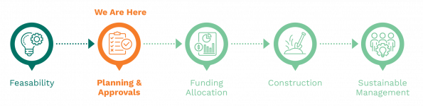
The Belsar-Yungera VMFRP project received planning approval under the Environment Effects Act 1978 (Vic) in July 2023. A Cultural Heritage Management Plan is being prepared for the Belsar-Yungera site in consultation with Traditional Owners and specialist consultants.
About
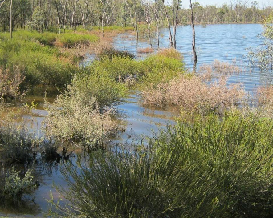
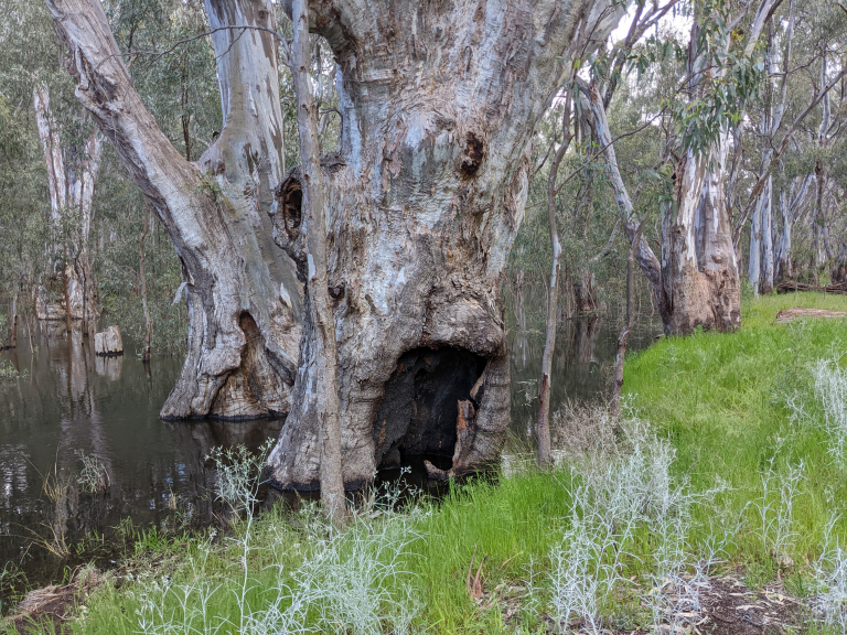
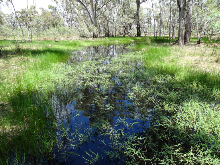
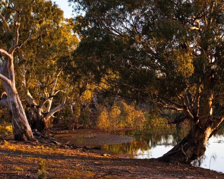
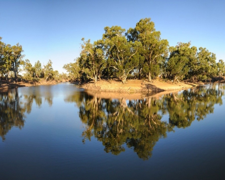
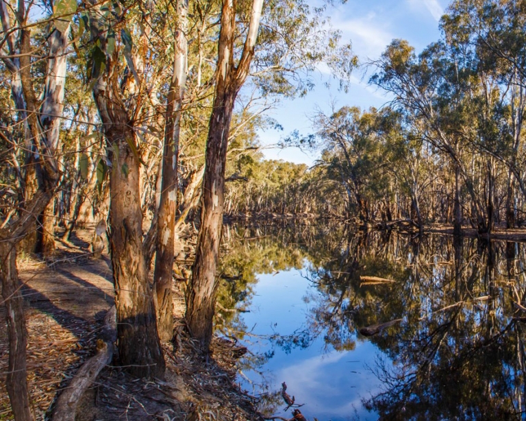
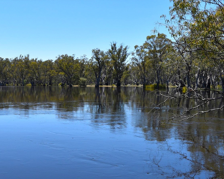
Belsar–Yungera is a large and ecologically important Murray River floodplain, supporting wetlands, forests and habitat for threatened native species. Its large floodplain complex is made up of islands, creeks, wetlands and lakes formed by anabranches of the Murray River, including Narcooyia, Bonyaricall and Yungera creeks.
The floodplain supports river red gum forests, black box woodlands, lignum shrubland and floodplain lakes, providing habitat for a wide range of native wildlife. These include waterbirds, frogs, bats and native fish, as well as threatened species such as the growling grass frog, Murray cod, regent parrot and white-bellied sea eagle.
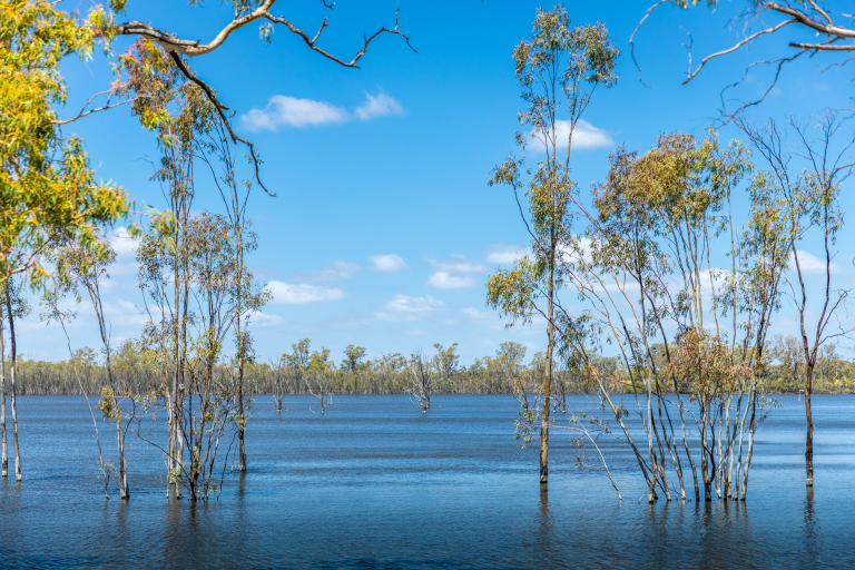
Water for the environment will help regenerate native trees, grasses and understorey plants, stabilise sandy soils, and restore habitat for wildlife that depends on floods to survive. The park contains two large ephemeral wetlands, Lakes Powell and Carpul, that provide important habitat and breeding grounds for many species of waterbirds.
Belsar–Yungera is a special place and holds deep cultural, spiritual and historical significance for Traditional Owners. Protecting cultural heritage is a key consideration in the project’s design and delivery.
Project milestones
Project features
The project proposes new and upgraded floodplain infrastructure that will work with high river flows and water for the environment to improve inundation across parts of Belsar-Yungera.
Planned elements include:
- Large and small gated structures (regulators) to control water movement into creeks, wetlands and floodplain areas
- A fishway to support fish movement and connectivity
- Containment banks to help retain water on the floodplain
- An underground pipeline linking Lakes Powell and Carpul to temporary pump locations
- Temporary pump hardstands to deliver environmental water during extended dry periods
- Use of existing tracks and disturbed areas where possible to minimise impacts
Refer to the Belsar-Yungera map for a site map depicting the location of infrastructure.
Location
The project site for Belsar-Yungera is located in north-west Victoria, between Mildura and Swan Hill, approximately 20–30 km south-east of Robinvale.
Project benefits
-
2,374 hectares
Of lakes and floodplain targeted for improved ecological health
-
212 rare and threatened species
To benefit from improved habitat
-
Economic benefits
Supporting eco-tourism and regional businesses
-
Improved tree health
Providing hollows that birds, bats and reptiles depend on for nesting and shelter
-
Cultural significance
Aboriginal cultural significance acknowledged and respected
-
Healthy landscapes
Supporting long-term sustainability and community wellbeing
Planning and compliance
The Belsar-Yungera project received planning approval under the Environment Effects Act 1978 (Vic) in July 2023. The Environment Effects Statement, together with a draft Planning Scheme Amendment was on public exhibition for six weeks between October and November 2022. A public hearing was held in January and February 2023, and the Standing Inquiry and Advisory Committee referred the project to the Victorian Minister for Planning to make a final determination (to approve or reject the proposal). The Minister’s assessment found that while some adverse impacts will occur during construction, VMFRP works will yield significant biodiversity improvements and help this floodplain to function more like it once did. As part of the conditions of approval, the construction and operation of the project must comply with the conditions set out in the Minister’s Assessment of the project.
A Cultural Heritage Management Plan is being prepared for the Belsar-Yungera site in consultation with Traditional Owners and specialist consultants. The plan assesses the potential impact on Aboriginal cultural heritage and outlines protections before, during and after construction. These plans are required under the Aboriginal Heritage Act 2006 (Vic.).
Proposed construction
Construction would be guided by approved environmental and cultural heritage management plans, with controls in place to protect vegetation, wildlife, water quality and culturally significant areas. Works would be carefully planned and monitored in collaboration with project delivery partners to minimise impacts during construction. Where possible, construction would take place on existing access tracks and areas that have already been disturbed.
Construction impacts would be monitored before, during and after works. Long-term ecological monitoring would continue after construction is complete to track the recovery of the floodplain and inform future watering decisions.
Proposed operations
Water would be delivered through a combination of natural inflows and by pumping using water for the environment. Different watering approaches will be used depending on river levels, climatic outlook, and floodplain condition. In some years, water may flow naturally onto the floodplain. In others, infrastructure will allow water to be held for longer or delivered to areas that would otherwise remain dry.
This flexible approach allows the project to respond to changing conditions while using water efficiently.
Frequently Asked Questions
Why are floodplain restoration works required at Belsar-Yungera?
What happens if the floodplains are not restored?
Why was Belsar-Yungera chosen?
How does the Belsar-Yungera project fit within the broader VMFRP program?
How will water be delivered to the Belsar-Yungera floodplain?
How do we know the project will work?
How are local Traditional Owners involved?
How are cultural heritage values being protected?
What happens if cultural heritage is discovered during construction?
Who is responsible for the project?
Sign up to receive updates
If you would like to receive email updates about Belsar-Yungera, please register here.
Register for updatesContact the project team
If you have questions about Belsar-Yungera, or would like to provide feedback, please email the project team. We’ll put you in touch with the right person.
info@vmfrp.vic.gov.au