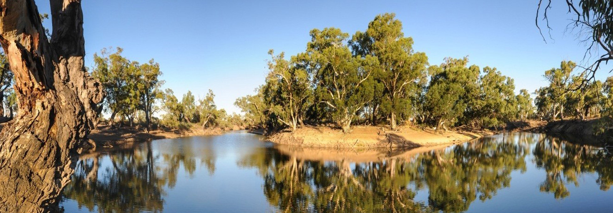
Lindsay Island
Lindsay Island is one of the largest and most ecologically significant floodplain systems within the Murray River.
Latest news
The Environment Effects Statement and draft Planning Scheme Amendment are on public exhibition between Monday 22 June and Friday 31 July 2026. To view the EES and draft PSA documentation and find out how you can make a submission to the Victorian government, please visit the VMFRP Environmental Assessment Portal.
About
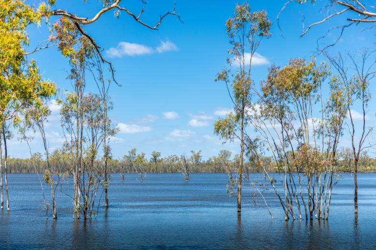
Lindsay Island is the largest of the VMFRP sites and forms part of the significant Chowilla Floodplain icon site.
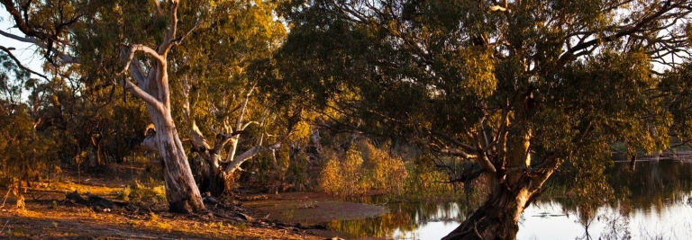
The Murray River and its floodplains evolved to flood regularly, supporting forests, wetlands and wildlife. Over time, river regulation, including dams, weirs and levees, has reduced the frequency, duration and extent of natural flooding. At Lindsay Island, some parts of the floodplain now go more than a decade between floods, which is too long for many plants and animals to survive.
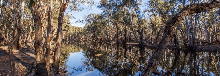
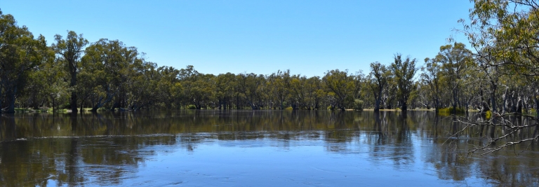
The Lindsay Island Floodplain Restoration Project aims to restore more natural flooding patterns by improving how water moves onto, across and off the floodplain. Carefully designed infrastructure, used alongside environmental water, will allow water to be delivered when natural floods do not occur, and held on the floodplain for long enough to support ecological health.
Restoring flooding at Lindsay Island will help regenerate river red gum forests, black box woodlands, lignum shrublands and wetlands. It will also improve habitat for native fish, frogs, waterbirds, reptiles and mammals, and protect cultural heritage values that depend on stable soils and healthy landscapes.
Lindsay Island is a place of deep cultural, spiritual and historical significance for Traditional Owners. Protecting cultural heritage and working closely with Traditional Owners is a key consideration in planning the project.
Project milestones
Project features
Most of the proposed environmental works would be located on Lindsay Island. Gates (also known as regulators) would also be built on the floodplain areas south of the Lindsay River, including near Lake Wallawalla. Careful design of the proposed infrastructure means environmental water can be delivered to suit the environmental conditions, landscape, and flora and fauna that live there. As much as possible, new infrastructure would be sited on areas that are already disturbed, such as existing access tracks. This helps to minimise ecological impacts during construction.
The proposed environmental improvement work includes:
- 1 very large regulator including a fishway across the Lindsay River and downstream of Berribee Homestead, 2 large regulators and 15 small regulators
- Eleven culverts
- Containment banks and spillways
- Five permanent hardstand areas for temporary pumps (to transfer environmental water and construction water from the Lindsay River or Lindsay South Creek as required during operation and construction)
- One temporary hardstand area for temporary pumps (to transfer construction water from the Murray River as required during construction)
- Five pipeline alignments for temporary pump infrastructure (for operation)
- One channel to assist with water flow
- One drop structure into the Lindsay River
- Upgrades to existing access tracks (around 60km) and new access tracks (6.5km).
Location
The Lindsay Island project site is located in Victoria, approximately 75 km north-west of Mildura and 30 km east of Renmark, South Australia.
Project benefits
-
5,931 hectares
Of lakes and floodplain targeted for improved ecological health.
-
More than 36,000 large trees
Will benefit from improved watering events
-
149 rare or threatened species
Such as the Growling Grass Frog and Regent Parrot are predicted to benefit from improved habitat conditions
-
Local employment
Opportunities during construction and operation
-
Cultural significance
Aboriginal cultural significance acknowledged and respected.
-
Improved resilience to threats such as climate change
due to rising temperatures and reduced rainfall
Environmental planning and assessment
Under the Environment Effects Act 1978 (Vic), the Victorian Minister for Planning determined that an Environment Effects Statement (EES) was required for the Lindsay Island Floodplain Restoration Project and Wallpolla Island Floodplain Restoration Project. The EES describes the potential environmental effects of the projects and identifies measures to avoid, minimise and manage impacts. An EES has been prepared in response to the scoping requirements issued by the Victorian Minister for Planning.
As part of the environmental planning and assessment pathway, a draft Planning Scheme Amendment (PSA) has also been prepared. The draft PSA proposes changes to the Mildura Planning Scheme to support the delivery of the projects.
The EES and the draft Planning Scheme Amendment (PSA), are currently on public exhibition. More information about the EES and assessment pathway and how you can make a submission is available on the VMFRP Environmental Assessment Portal
Proposed construction
If the Lindsay Island project is approved, construction is expected to take around 18 months to complete. The construction footprint, which is the area of land needed to build the projects, covers 105 hectares, and includes all infrastructure and associated construction activities, including laydown areas, site compounds, and workforce facilities, upgrades to site access and borrow sites. The project is required to take an avoid and minimise approach to construction. This means that if approved, further design refinements, in consultation with stakeholders and the community, would be made, and as a result, the disturbance footprint is expected to be reduced. Construction work would only be carried out within the approved construction footprint.
Before the start of any construction, detailed designs would be finalised and additional approvals and construction permits would be required. The community would be updated during the pre-construction period, and notified before the start of any works.
Construction impacts would be monitored before, during and after works. Temporary construction disturbance areas would be rehabilitated, with tracks and surrounding areas restored to the same or better condition than prior to works, supporting improved long-term environmental and land management outcomes.
Long-term ecological monitoring would continue after construction is complete to track the recovery of the floodplain and inform future watering decisions.
Proposed operation
Water would be delivered through a combination of natural inflows, raising of the existing Lock 7 and by temporary pumping using environmental water during dry conditions. Different watering approaches would be used depending on river levels and floodplain condition. In some years, water may flow naturally onto the floodplain. In others, infrastructure will help water to be held on the floodplains for longer or be delivered to areas that would otherwise remain dry.
This flexible approach allows the project to respond to changing conditions while using water efficiently.
Lock 7 controls the flow of water into Mullaroo Creek and the Lindsay River. When water needs to get to the higher reaches of the floodplain, Lock 7 weir can be raised and a new regulator, proposed to be built just downstream of Berribee Homestead would be opened. Even higher reaches of the floodplain can be watered from additional pumping.
Community updates
During the public exhibition period, the project team will host four community drop-in sessions. These sessions are designed to help the community to navigate the EES documentation and prepare an informed submission, as well as answer questions about the project’s benefits and impact mitigation measures. No set presentation will be provided, so please feel free to drop in to a session during the days and times listed below:
- Lower Murray Water Office (training room), 741-759 Fourteenth Street, Mildura Monday 13 July 2026 12pm – 2pm
- Millewa Resource Centre, Lake Park Road, Cullulleraine, Tuesday 14 July 2026 1pm -3pm
- Werrimull Hotel, 5543 Millewa Rd, Werrimull, Wednesday 22 July 2026 4pm – 6pm
- Lower Murray Water Office (training room), 741-759 Fourteenth Street, Mildura, Thursday 23 July 2026 10am – 12pm
If you’re unable to attend a drop-in session and would like information about the EES or the project generally, please reach out to the team at 1800 808 830 or email info@vmfp.vic.gov.au
Frequently Asked Questions
Why are floodplain restoration works required at Lindsay Island?
What happens if the floodplains are not restored?
Will the environmental works impact access to Lindsay Island?
How does Lindsay Island fit with other VMFRP sites?
How would cultural heritage be managed?
Who is responsible for the project?
Recent projects
Sign up to receive updates
If you would like to receive email updates about Lindsay Island, please register here.
Register for updatesContact the project team
If you have questions about Lindsay Island, or would like to provide feedback, please email the project team. We’ll put you in touch with the right person.
info@vmfrp.vic.gov.au