Construction and Operation
Please visit the project site pages for up-to-date project construction information.
Infrastructure
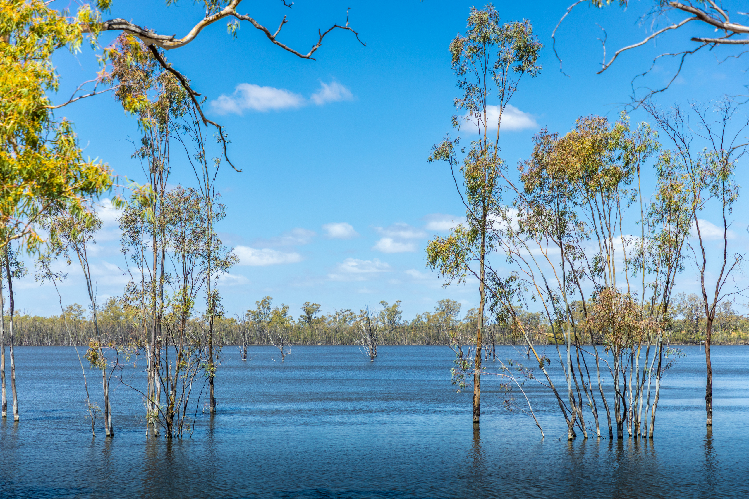
The VMFRP will reconnect parts of the floodplain to the Murray River by removing barriers to flow and building carefully designed infrastructure to support the seasonal wetting cycles that native plants and animals depend on.
The infrastructure proposed as part of the VMFRP is relatively small, affecting a very small percentage of the total area predicted to benefit from inundation (about 15,000 hectares). Infrastructure such as gated structures (also known as regulators), pipe culverts, containment banks, new and upgraded access tracks and drop structures are localised to minimise impacts to the environment, cultural heritage and the community.
Construction activities
While each project site under the VMFRP is unique by design, environment and geography, the construction activities for each approved site would include:
- confirmation of the final Construction Footprint
- detailed design of infrastructure
- preparatory works
- earthworks
- civil and structural works
- reinstatement and rehabilitation
- dry commissioning.
The community and stakeholders will be kept informed of construction activities and progress being made at each site.
Construction footprint
Construction footprint refers to the land required to construct each project, including all infrastructure and associated construction activities. It includes laydown areas, site compounds, workforce facilities, site access and borrow sites.
To the greatest extent possible, the VMFRP construction footprint has been minimised to reduce the potential environmental impacts and cultural heritage impacts.
Operations
When the infrastructure is built and operational, planning and delivery of environmental water operations will be coordinated through Mallee Catchment Management Authority or North Central Catchment Management Authority, in consultation with stakeholders including Traditional Owners, Parks Victoria, Lower Murray Water or Goulburn-Murray Water, and the local community. Watering decisions are based on seasonal conditions, river flows and monitoring of floodplain health, with flooding planned in advance to support ecological outcomes while managing safety, access and water quality risks.
The infrastructure might not be used every year. If sufficient natural flooding occurs, then it may go several years without being used. But in dry times, the infrastructure can get water into the floodplains to keep them healthy and thriving. Watering decisions will be guided by ongoing ecological monitoring, adapting over time to what the floodplain and its wildlife are telling us. Long-term monitoring of ecological, cultural and social outcomes will be undertaken before, during and after flood events to ensure the intended benefits are realised. Where outcomes do not align with expectations, management approaches will be adapted over time, including adjustments to future watering plans, to ensure the project’s objectives are achieved.
Recent projects
Sign up to receive updates
If you would like to receive email updates about the VMFRP, please register here.
Register for updatesContact the project team
If you have questions about the VMFRP, or would like to provide feedback, please email the project team. We’ll put you in touch with the right person.
info@vmfrp.vic.gov.au